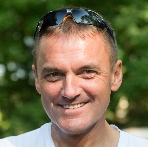


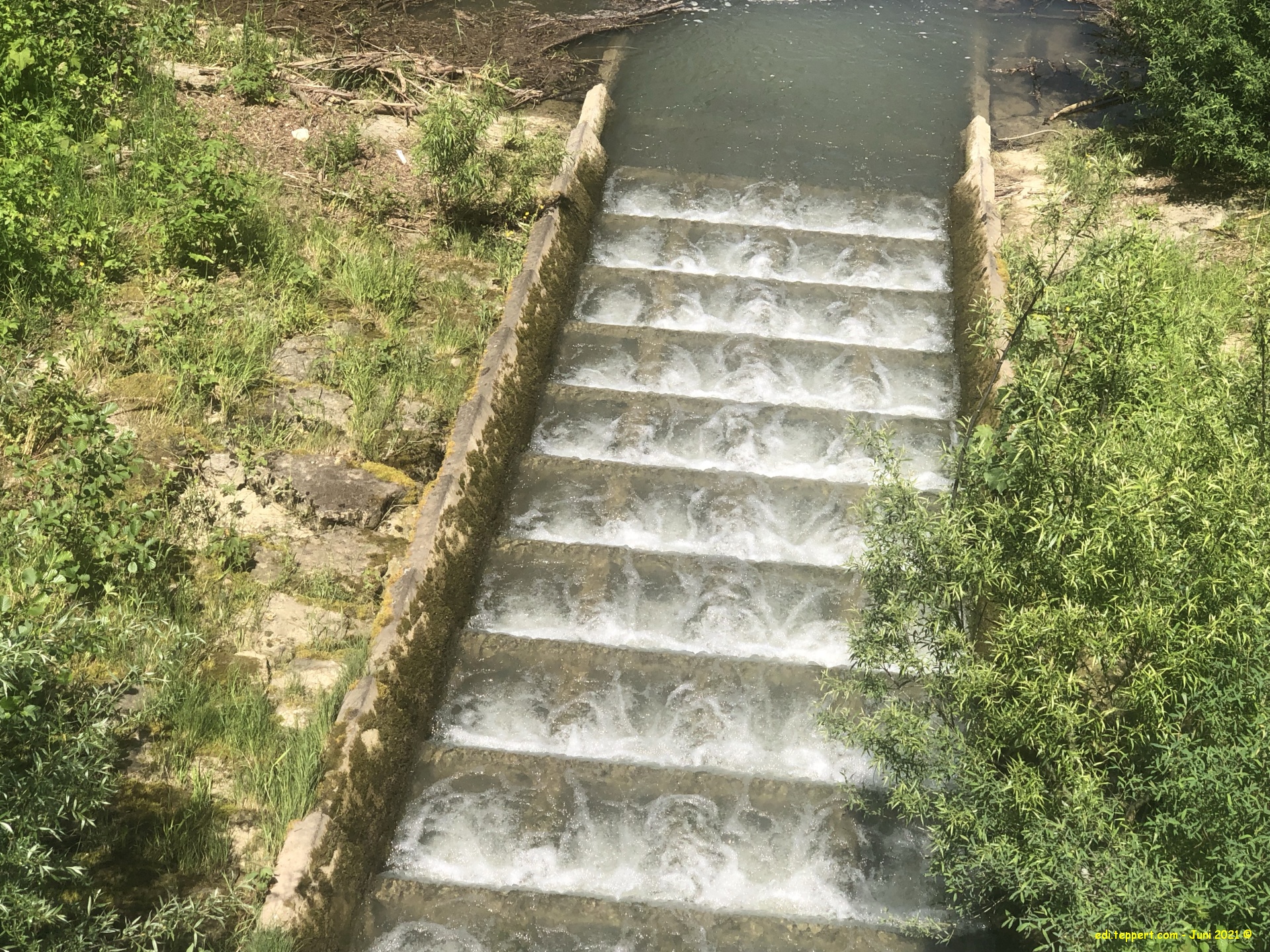
Meine Radtrainings in der vergangenen Woche. Dienstag und Mittwoch eine Tour über Mittag. Am Dienstag nach Schwenningen und am Mittwoch an den Schömberger Stausee.
Bei herrlichem Wetter, sehr warm aber ein guter Ausgleich zur Laufrei.
Gruß
Edi
Die zurückgelegte Strecke als Open Street Map Karte mit Höhenprofil und Zusatzinfos
Rennrad Touren über Mittag: VS, Stausee Schömberg – 14. – 15.06.2021
Map of the route “14. + 16. Juni 2021 – Rennrad Touren über Mittag: VS, Stausee Schömberg”: 30.888 m, 493 m of climbing and 493 m of descent, elevation between 567 m and 699 m, time 01:07:21. It is a loop that starts and ends at 48.14870, 8.63431 (latitude, longitude).
Maximale Höhe: 699 m
Minimale Höhe: 567 m
Gesamtanstieg: 493 m
Gesamtabstieg: 493 m
Gesamtzeit: 01:07:27
Map of the route “14. + 16. Juni 2021 – Rennrad Touren über Mittag: VS, Stausee Schömberg”: 35.691 m, 465 m of climbing and 461 m of descent, elevation between 581 m and 749 m, time 01:19:48. It is a loop that starts and ends at 48.14842, 8.63400 (latitude, longitude).
Maximale Höhe: 749 m
Minimale Höhe: 581 m
Gesamtanstieg: 465 m
Gesamtabstieg: 461 m
Gesamtzeit: 01:19:54


